Eugenio María de Hostos Airport, Bo. Sabaneta, Mayagüez, PR
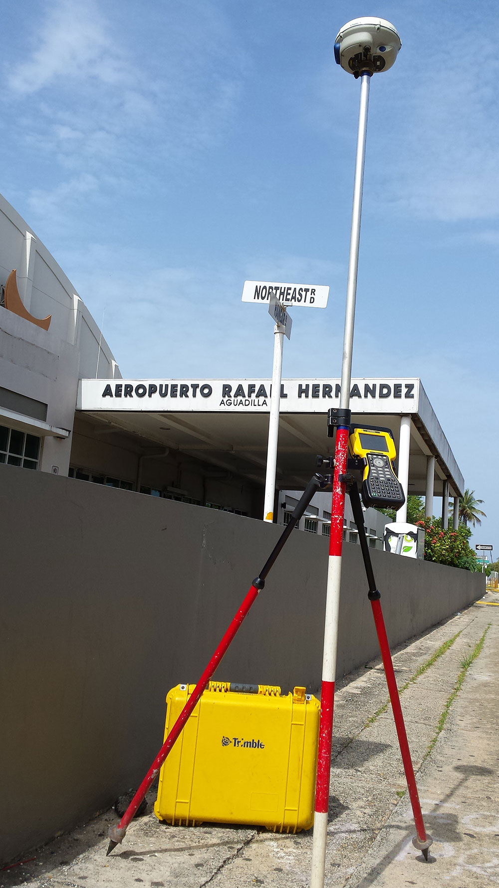
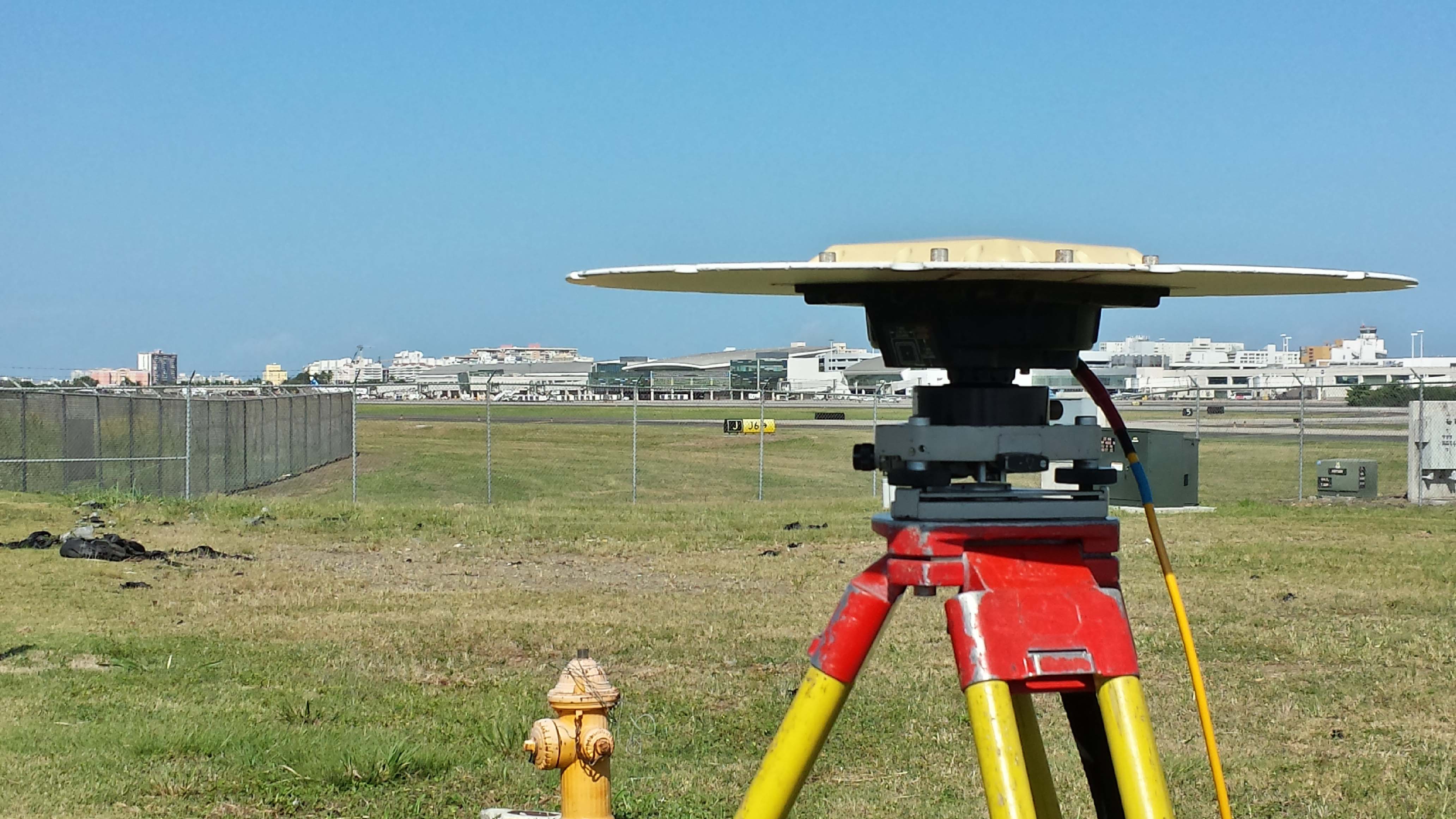
Topography (AS-Built) from the northern and western portions of the Eugenio María de Hostos Airport in the neighborhood of Sabanetas. Topography of a portion of the creek and drainage channel with an approximate area of 14,000 square feet. It will channel information, stream and its surroundings. Information will also be on the east side of the runway drainage channel with an area of approximately 1,700 feet long.


